Assignment Introduction:
This assignment is an overview of processing Pix4D data with Ground Control Points (GCPs). GCPs are a marked point on the ground where you know its true location. This point can then be identified in the image in Pix4D to make sure that your data is accurate. GCPs are not to be confused with check points. Check points only show error but do not correct the data like GCPs do. Figure 1 shows a GCP in the imagery.
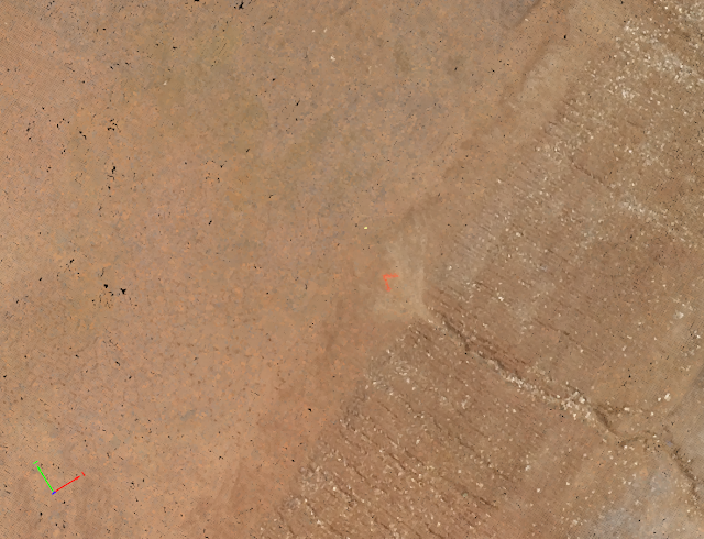 |
| Figure 1. Ground Control Point Marking |
Assignment Methods:
The first step when processing Pix4D Data is to have correct file structure. This should be done by creating separate folders inside your project folder: Collection, Processing, Analysis. Metadata should also be included in the project folder. Figure 2 shows a proper file convention.
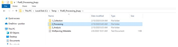 |
Figure 2. Correct File Convention
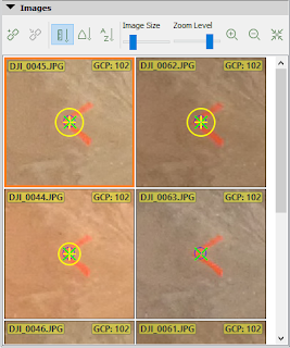
Inside the collection folder should be the imagery and your GCP data. Once you import your imagery data into Pix4D, you should complete the initial processing. This should generate a quality report so you can get an idea of how well your data will process. Figure 3 shows an example of how a quality report should look.
|
 |
Figure 3. Quality Report
Once this is done, you will need to use the Raycloud Editor, this will allow you to correct the images to your GCPs. Figure 4 shows what the Raycloud Editor should look like.
|
 |
| Figure 4. Raycloud Editor |
Once your GCPs are corrected you can continue with the DSM and orthomosaic processing. Figure 5 will show the final product after correcting the GCPs
 |
| Figure 5. Final Product with GCPs |


